Hit enter to search or ESC to close
GIS & RS
GIS & RS
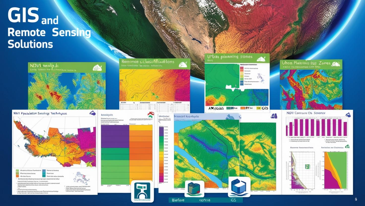
Our GIS & Remote Sensing Solutions provide advanced geospatial analysis to support decision-making across various industries. We specialize in Spatial Data Analysis & Mapping, ensuring accurate visualization and interpretation of geographic data. Our Remote Sensing Data Processing services include handling satellite imagery, aerial photography, and UAV (drone) data for precise analysis. We conduct Land Cover & Change Detection Analysis to monitor environmental changes, urban expansion, and resource management. Our expertise in Satellite Image Processing & Classification helps in extracting valuable insights through advanced classification techniques. Additionally, we develop GIS-Based Decision Support Systems, integrating spatial data with analytical models to aid in planning, resource allocation, and efficient management of projects. Whether for environmental monitoring, urban planning, or infrastructure development, our GIS & Remote Sensing solutions deliver reliable and actionable insights.
Let’s find out how to work together
Ready to start your project? The contact information collected through this form will only be used to send a response to your inquiry.

© 2026 GeoSky