Hit enter to search or ESC to close
Environmental GIS
Environmental GIS
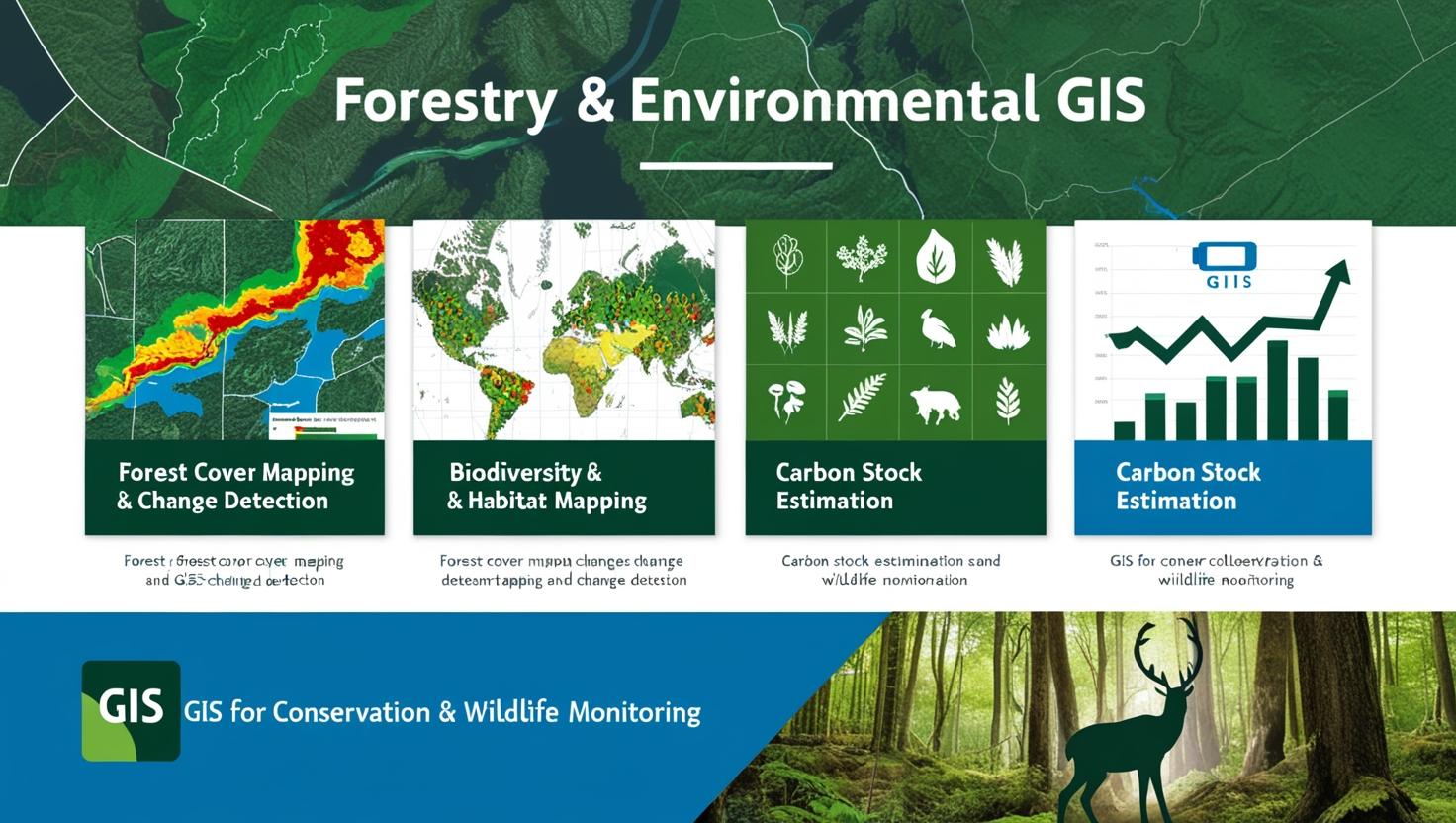
Our Forestry & Environmental GIS services provide advanced geospatial solutions for sustainable forest management and environmental conservation. We specialize in Forest Cover Mapping & Change Detection, helping organizations monitor deforestation, afforestation, and land use changes over time. Our Biodiversity & Habitat Mapping supports ecosystem preservation by identifying critical habitats for wildlife and endangered species. We also offer Carbon Stock Estimation to assess forest carbon sequestration, aiding in climate change mitigation strategies. Additionally, our expertise in GIS for Conservation & Wildlife Monitoring enables real-time tracking of wildlife movements, habitat conditions, and protected areas, ensuring better decision-making for conservation efforts.
Let’s find out how to work together
Ready to start your project? The contact information collected through this form will only be used to send a response to your inquiry.

© 2026 GeoSky